Rumsey Digital Map Collection Grows Even Larger

Last year, we wrote about one of the jewels of Stanford University’s Rumsey Map Collection, Urbano Monte’s planisphere of 01587. The planisphere was an ambitious map of the world across sixty individual sheets that, were it to be stitched together as Monte’s instructions dictated, would be the largest world map made in the sixteenth century:
Monte’s project was largely forgotten by history, and his life and work rarely studied. His world map was hidden away in an atlas for centuries, the bound pages belying the visionary scope contained within. In September 02017, David Rumsey, a map collector and Long Now’s Treasurer of the Board of Directors, acquired the map from antique map seller Barry Ruderman for the Rumsey Map Center at Stanford Libraries. Now, the Rumsey Map Center is bringing Monte’s vision to life. Rumsey’s team has digitized and assembled the sixty sheets into a single world map that stands a remarkable nine feet in diameter.
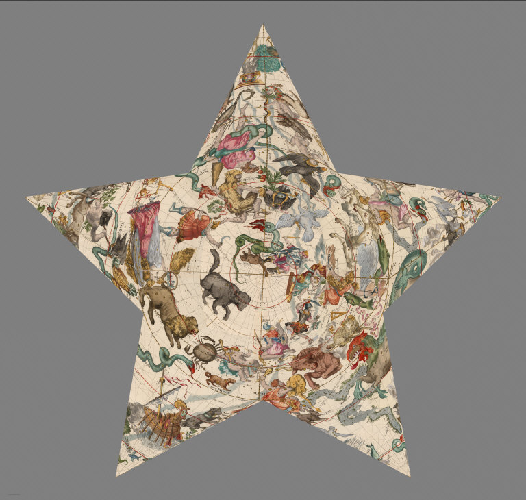
The Urbano Monte map is but one of tens of thousands of historic maps in an unprecedented digital collection that grows larger by the day. As OpenCulture recently noted, visitors can now peruse and download over 91,000 historic maps:
A completist’s dream, the archive “includes rare 16th through 21st century maps of America, North America, South America, Europe, Asia,Africa, Pacific, Arctic, Antarctic, and the World.” Among the seemingly innumerable examples of cartographic ingenuity we find early data visualizations, utilitarian primers, photographic surveys, intricate topographies, abstract objets d’art, and historical cornerstones of European map-making.
Learn More
Join our newsletter for the latest in long-term thinking
Subscribe